


 Download(50MB)
 1.13
1.13
 3.6MB
3.6MB
8.3
Data collecting
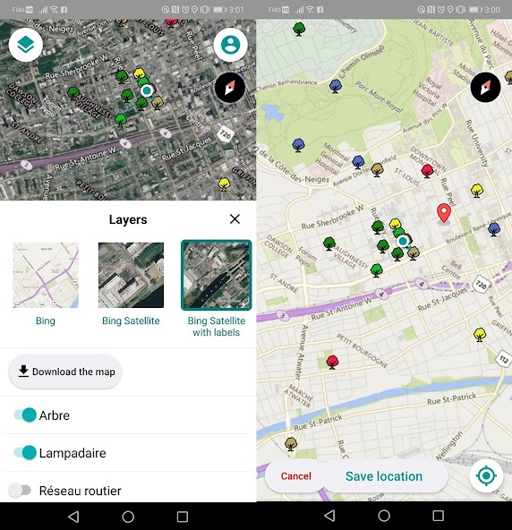
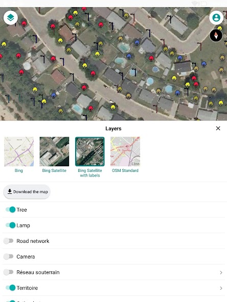
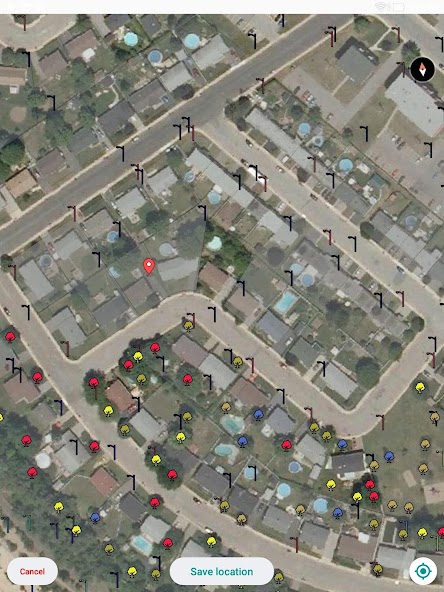
JMap Survey connects to JMap Server (requires a license). The application allows to go to the terrain and to collect geospatial data for the creation of inventory or inspections.
JMap Survey Features:
- Access to all your JMap projects
- Availability of Base Maps (Bing Maps, OpenStreet Maps)
- Works in Online and Offline mode
- Uses smart forms created using JMap Admin
- Capture images during the gathering of information
- Use of GPS Data from the device or a connected external device.
 Similarity
January 22, 2026
January 22, 2026
January 22, 2026
January 22, 2026
January 22, 2026
January 21, 2026
January 21, 2026
January 21, 2026
January 21, 2026
January 21, 2026
January 21, 2026
January 20, 2026