


 Download(21.7MB)
 5.19.1.0
 8.77MB
8.6
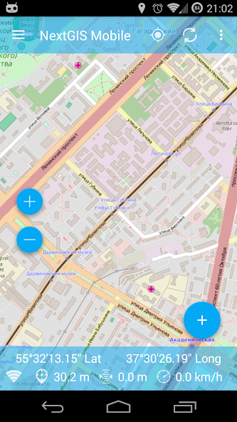
Mobile GIS for field data collection and editing.
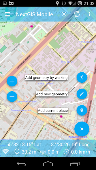
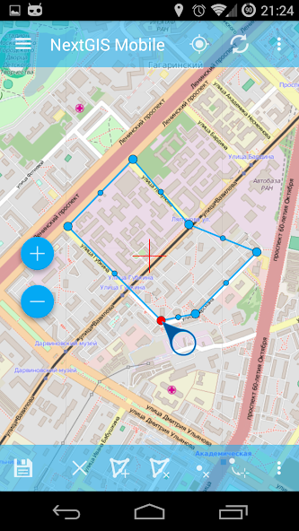
NextGIS Mobile is a geographic information system for your mobile device that can:
- show multi-layer map (layers can come from online and offline sources)
- change visibility and layers order
- navigate the map (panning, zoom in, zoom out)
- edit vector data (both geometries and attributes) online and offline
- record tracks
- show coordinates, speed, elevation etc.
 Similarity
January 22, 2026
January 22, 2026
January 22, 2026
January 22, 2026
January 21, 2026
January 21, 2026
January 21, 2026
January 21, 2026
January 20, 2026
January 20, 2026
January 20, 2026
January 20, 2026